

Caribou Hunting Along the Dalton Highway: Rivers, Boat Access, and What Hunters Need to Know
The Dalton Highway (Haul Road) is one of the most talked-about places in Alaska for DIY caribou hunting. Stretching from the Yukon River north to the Arctic Ocean, it provides rare road access into remote caribou country along the Brooks Range and North Slope.
Every year, hunters travel the Dalton to glass migrating caribou, hike beyond the road corridor, and in some cases use rivers for float trips, scouting, and logistical access.
This guide breaks down where people hunt caribou along the Dalton Highway, the main rivers hunters use, and specific locations where boats are commonly launched.
Understanding the Dalton Highway Caribou Hunting Rules (Read This First)
The most important thing to understand is the Dalton Highway Corridor Management Area (DHCMA).
The corridor extends 5 miles on each side of the Dalton Highway
Firearms hunting is prohibited inside the corridor
Bow hunting is allowed in much of the corridor
Rifle hunters must hike beyond the 5-mile boundary to hunt legally
Most successful Dalton Highway caribou hunters use the road to access terrain, then walk well beyond the corridor to hunt migrating animals from the Central Arctic Herd.
Always check current ADF&G regulations and Emergency Orders before your hunt.
Major Rivers Used by Dalton Highway Caribou Hunters (With Boat Launch Areas)
While many Dalton hunters are foot-based, rivers play a major role for:
Float hunting outside the corridor
Accessing remote camps
Fishing and scouting during caribou season
Moving gear away from highway pressure
Below are the primary rivers hunters reference along the Dalton, listed from south to north.
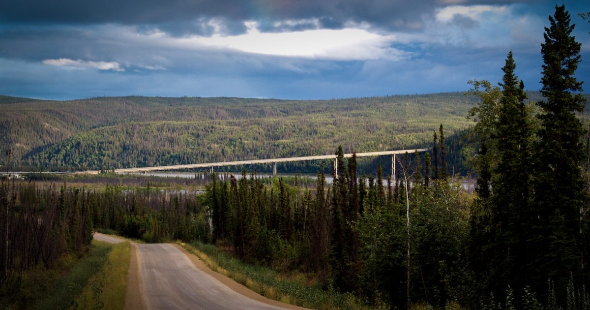
Yukon River (Dalton Highway MP 56)
Why it matters:
The Yukon River is the southern gateway to the Dalton Highway and a major travel corridor for Interior Alaska.
Where people launch boats:
Dalton Highway MP 56 (Yukon River Bridge)
Unimproved but commonly used launch area
Gravel bars and bank launches depending on water levels
Notes for hunters:
The Yukon itself is more often used for transport and fishing, but it serves as a staging point for Interior hunts and extended float trips.
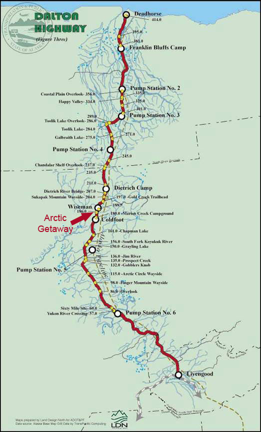
Jim River (Approx. MP 136–148)
Why hunters use it:
Easy road access, light whitewater, and the ability to get off the highway quickly.
Boat launch access:
Multiple informal gravel bar launches along the Dalton Highway
No developed ramps
Best suited for rafts, packrafts, and small inflatables
Hunting relevance:
Used mainly to move away from the road, camp, and scout. Hunters still must hike beyond the 5-mile corridor to hunt legally.
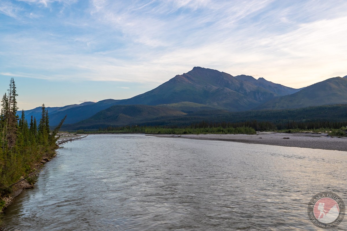
Middle Fork Koyukuk River (Approx. MP 166–207)

Why it’s popular:
Offers longer float opportunities while still being Dalton-accessible.
Where boats are launched:
Bridge crossings and pullouts along the Dalton
Gravel bank launches only (no improved ramps)
Typical use:
Multi-day float trips, fishing, and camp access. Caribou may be present depending on migration timing, but most rifle hunting occurs well away from the river corridor.
Atigun River (MP 271 – Atigun Pass)


Important warning:
The Atigun River includes Class III–IV+ whitewater in the gorge and is not beginner-friendly.
Launch location:
Atigun River road crossing near MP 271
Primarily used by expert packrafters
Hunting relevance:
This area is better known for glassing caribou in the Brooks Range foothills rather than traditional float hunting.
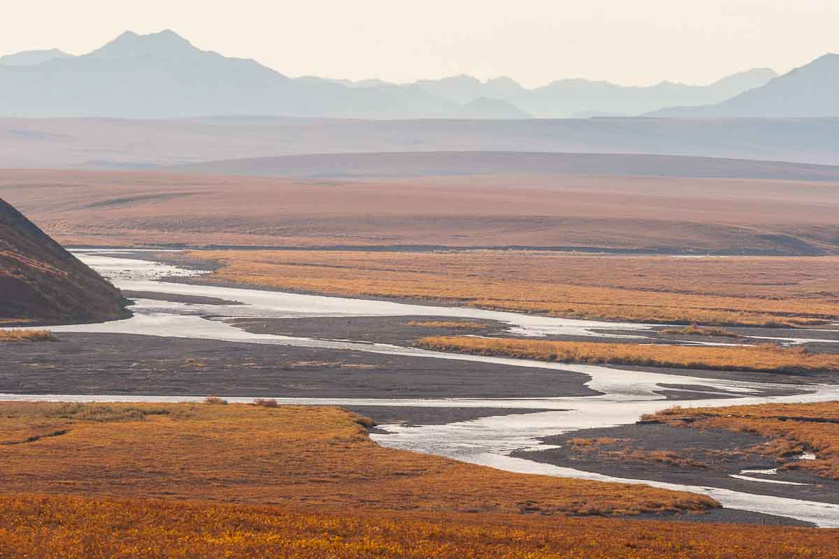
Sagavanirktok River (The “Sag”)

Why it’s critical:
The Sag parallels the Dalton Highway for much of the North Slope and is the most referenced river for Dalton logistics.
Known boat launch areas (ADF&G permitted sites):
MP 325 – Ice Cut (Improved Ramp)
MP 334.4 – Happy Valley gravel pit
MP 344.1 – Near Sagwon
MP 366.5 – Downstream of the Ivishak confluence
Important notes:
Some sites are unimproved
Access may be limited by land ownership or seasonal conditions
Designed to reduce riverbank damage
Hunter use:
The Sag is commonly used for travel, fishing, and accessing remote camps, not hunting within the corridor itself.
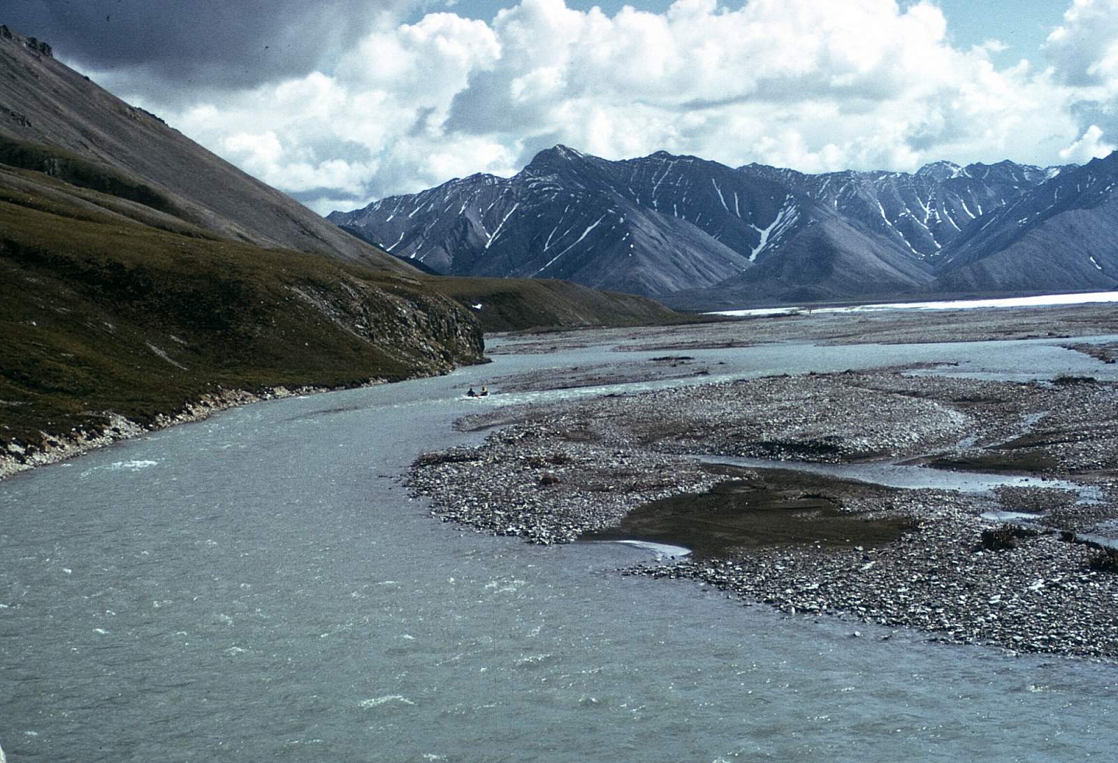
Ivishak River (Accessed via the Sag)

Why hunters talk about it:
The Ivishak is iconic, remote, and ties into the Sag system.
Boat launch access:
Jetboats launch on the Sagavanirktok River via a spur dike east of the Dalton Highway
Approximately 6 river miles upstream to the Ivishak mouth
No improved ramp; 4WD recommended
Use case:
More commonly used for logistics and fishing than direct caribou harvest access.
Final Thoughts: Dalton Highway Caribou Hunting Realities
The Dalton provides access, not easy hunting
Success depends on timing, migration, and willingness to hike
Rivers are tools for travel and camp access, not shortcuts around regulations
Conditions change yearly — flexibility matters
Plan Your Dalton Highway Trip with Alaska Wild Rentals
If you’re planning a Dalton Highway adventure, Alaska Wild Rentals can help you choose the right inflatable boat setup for river travel, camp logistics, and remote Alaska conditions.
Whether you’re scouting, fishing, or building a DIY caribou plan, we’ll help you think through:
Boat size and payload
Fuel range and safety gear
River conditions and seasonal timing
Explore your Alaska your way — prepared and informed.